 Land Types
Menu Option: General: Land Types
See Also: Regions, Maps
 To support disaggregated resource analysis, LEAP allows you to specify multiple land types. You can specify the area of land for each land type within each region of your LEAP area. Then, you can specify how the area of each land type in each region changes in your scenarios. The areas of some land types may grow while others may decline. As one land type grows its land area needs to be taken from another land type so that overall the area of each region stays constant over time in all scenarios. Later you can specify the availability of selected resources per unit of area on each land type.
The color column shows you the color and pattern with which any results for a land type will be displayed.
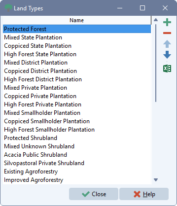
Click the  button to add a new land type. Click the
  button to delete a land type. Bear in mind that this will erase all of the data associated with a land type. Click the
 ![]() and
and ![]() buttons to change the display ordering of land types.
buttons to change the display ordering of land types.
To rename a land type, simply edit its name. Click the  button to export the land types table to Microsoft Excel. Click the ditto button (
 ) to duplicate a field value from the value immediately above it.